July 2005August 2005 September 2005

Morse Creek

08/27 - Art at Morse Creek

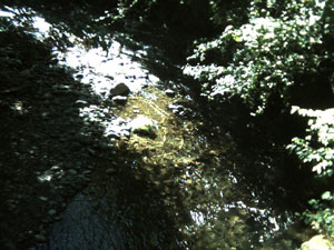
Have you been out to Morse Creek lately? If you look to the south as you cross the old (and lovingly restored) railroad bridge, there's a lizard painted with yellow on the creek bottom. Click on the image to the left for a closer view.

We are not sure of who the artist is, but last year someone painted a rainbow path on the north side of the bridge, and as the winter progressed and the river flowed, the rainbow was broken and its colored stones scattered. For now, the lizard is intact, and the river flow is weak.

We'll see how things go this winter, and look forward to next season's river bottom painting.

Keywords: art, morse creek, winter


Sea Star at Second Beach

08/15 - Sea Stars

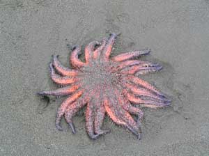
We often see starfish at Second Beach, particularly at low tide, but on our last visit we saw several stranded sea stars. You can tell they are echinoderms, related to the starfish and sea urchins, because they have five fold body symmetry. In fact, they look a lot like starfish, except they have 20 legs, rather than just five.

We've updated our tide tables for La Push, which is right near, and has almost the same tide schedule as, Second Beach. You can even download an iCal calendar to set up a trip at low tide so you can explore the tide pools and caves more easily.

Keywords: second beach, animals, fish, tides


Dry Pothole at the Potholes

08/12 - Dry Potholes Above Deer Lake

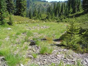
This has been a very dry summer, even in the high country, there is not as much water as usual We were up at the Potholes above Deer Lake, and the drought was really visible. There is usually water in the pothole shown on the left. That grass has been growing for a fair while. Let's hope that the autumn rains come soon, and we have a good snow pack this winter. We need it.

Keywords: deer lake, high country, autumn, winter


TideCal Software

08/05 - TideCal - Tides for iCal

We often like to hike out the lighthouse at Dungeness Spit or take the Cape Alava - Sandy Point hike out near the northwest corner. These hikes take you a long way along the water in the Strait of San Juan de Fuca or along the Pacific, and while they are always wonderful hikes, they are best done when the tide is low and the sun is in the sky. Sometimes we check the tide tables to figure out when to go hiking, but sometimes we forget to check the tide tables, and we don't get to some of our favorite beaches.

Now, Kaleberg Symbionts has a new software solution to this problem. It's a simple program called TideCal for Macintosh users that lets you generate an iCal calendar file with just the tides you want. We want low tides, between noon and 3PM, so we can hike and get back in time for dinner. In general, tides under 3 feet are best, so we've put those tides on our calendar. Maybe we won't take advantage of one particular tide, but now we won't miss out just because we forgot to check the tide tables.

Keywords: software, tides, beaches, cape alava, dungeness


July 2005August 2005 September 2005