|
This page is a Kaleberg report on the Elwha River trails, a wonderful set of river and rain forest trails at the end of Whiskey Bend Road. There are more Kaleberg reports on the North Olympic Peninsula. |
|
|
This page is a Kaleberg report on the Elwha River trails, a wonderful set of river and rain forest trails at the end of Whiskey Bend Road. There are more Kaleberg reports on the North Olympic Peninsula. |
|
|
The Elwha River trails follow the protected river valley from Whiskey Bend well into the wilderness of Olympic National Park. Unlike many high country trails, these trails are usually open all year. There is some climbing; the trails go up and down the side of the valley passing through rich green forests and offering glimpses of the valley itself and the spectacular mountains defining it. For many, the most serious challenge to these trails is the drive from Olympic Hot Springs Road to the trailhead at Whiskey Bend. The road may be primitive, but it is easily passable in a stock Honda Civic. |
A glimpse of the river |
|
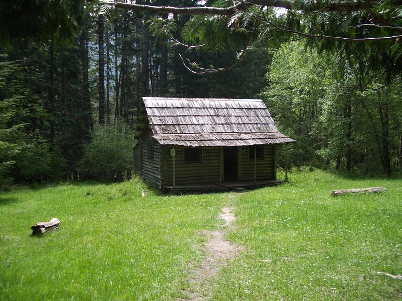
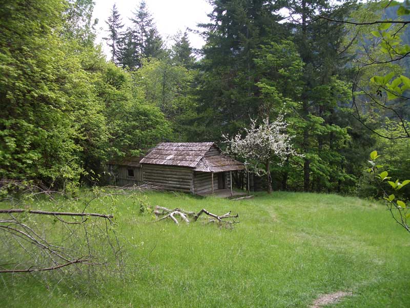
Michael's Ranch |
TRAILHEAD Route 101 gets twisty west of Port Angeles as it descends to the Elwha River. Watch for the Olympic Hot Springs Road turnoff, marked for Elwha, at the base of a steep turn on the left, just before the bridge over the river. Follow Olympic Hot Springs Road into the park, then watch for the road to Whiskey Bend a bit after the ranger station. This road is a one and a half lane, hard packed dirt road that runs 4.5 miles to Whiskey Bend. We drive it fairly often in our Honda Civic. It passes through forest and heads up and down, hugging the valley wall. If you drive carefully and courteously, it is a safe and simple drive. Park at the Whiskey Bend parking lot and look for the trailhead sign. |
|
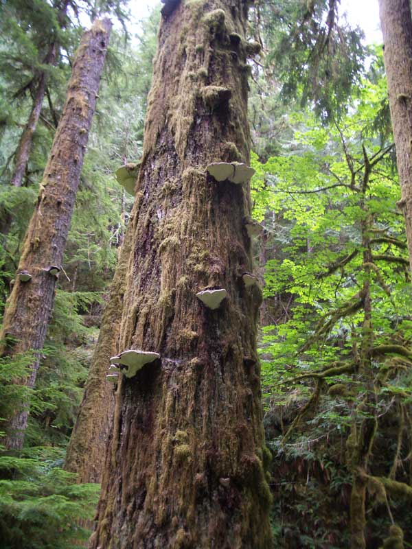
Fungi on a tree |
Tiarella on the forest floor |
|
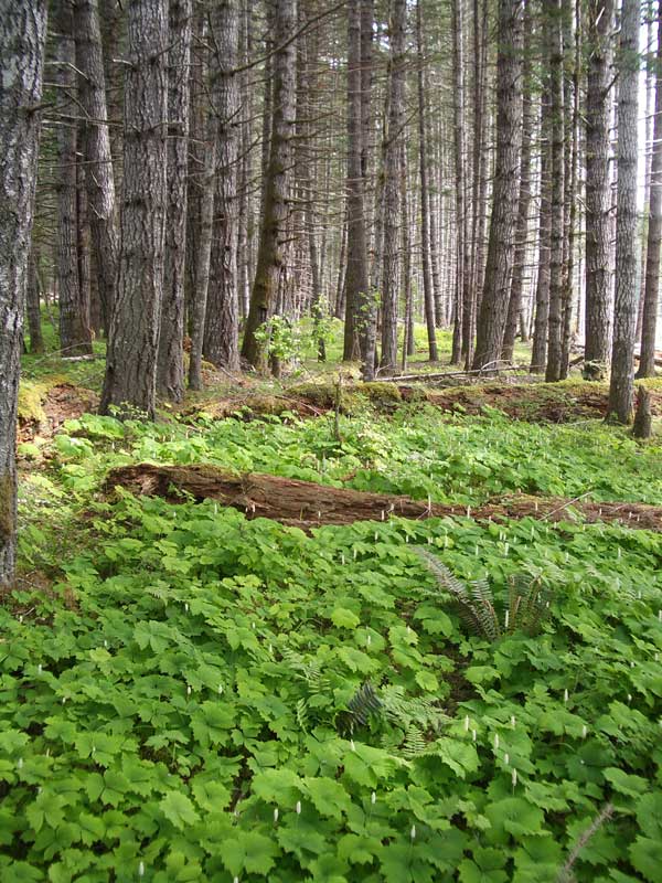
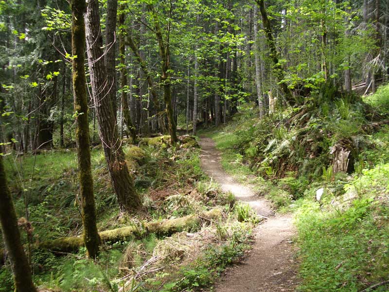
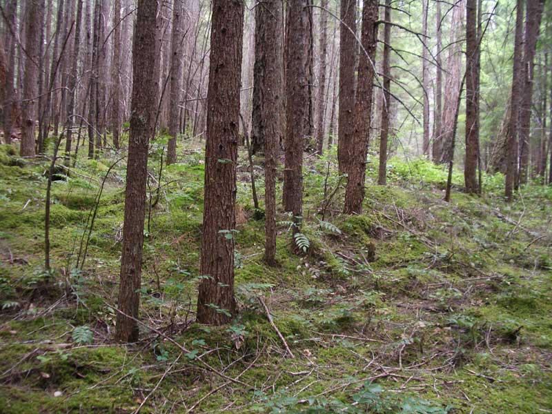
Trailhead to Michael's Ranch The trail passes through verdant rain forest from the trailhead to Michael's Ranch. Listen carefully in the spring and you can hear the dull boom-boom of the lekking grouse. It is a dull sound, almost subsonic. Watch for triliums and fungi, Oregon grape and tiarella. There are turn offs on the right for Krause's Bottom and Rica Canyon that head down to the river where there is a parallel trail along the river to the bridge at Dodger's Point. At Michael's Ranch, an abandoned farm house, there is yet another a trail that heads down to join the river trail. There is also a trail that heads left and ascends; it leads to Lilian Camp. |
Hume's Ranch |
 |
River near Dodger's Point |
|
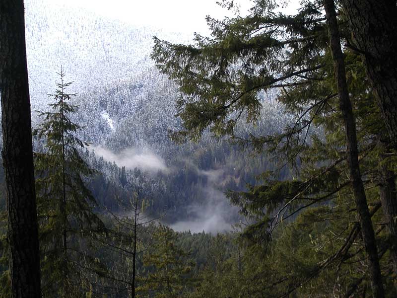
A wintry scene |
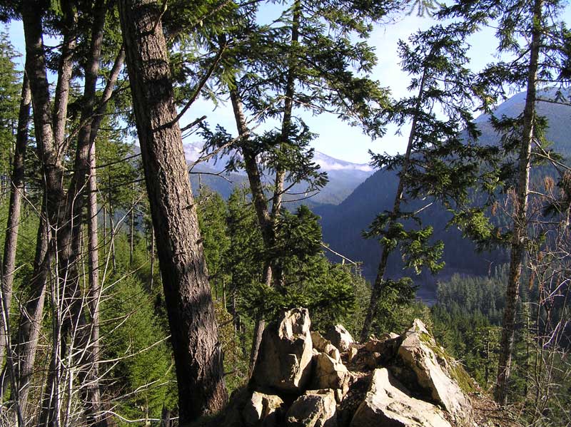
Michael's Ranch to Dodger's Point We haven't completely explored the trail along the river, but we have gotten down to Hume's Ranch. The old farm fields are now a pretty meadow, a perfect place for a picnic. The trail contiinues south following the river and offers some spectacular views. At Dodger's Point, there is a suspended steel bridge, high over the river. We took one look from the distance and turned back. We'll try it someday, but we aren't big on scary river crossings. |
|
|
|
|
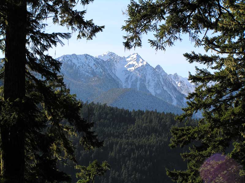
Michael's Ranch to Lilian Camp We usually take the left fork at Michael's Ranch and climb three or four hundred feet along the valley wall. The trail descends into a pretty grotto with an easy to cross stream and a small waterfall. Then, the trail rises and continues along the valley wall. There is a nice glimpse of the mountains en route to the next canyon grotto. The stream here is as pretty as the previous one, but there is a narrow log bridge to cross. |
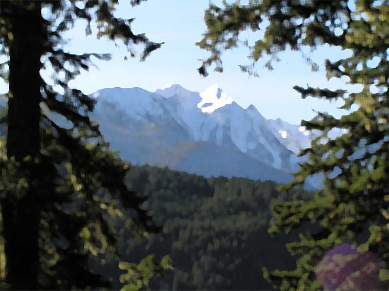
A glimpse of the mountains |
|
|
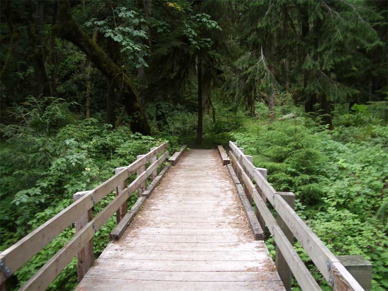
Then the trail heads up from the grotto and then passes through an enchanted forest of young, seemingly stunted trees and a green forest floor. There is a sign at the fork in the trail. The left branch leads to the unmaintained Lilian Ridge Trail, now a fair bit overgrown. The right branch takes leads down to Lilian Camp, a mysterious sylvan campground with old trees, great ferns and the Lilian River. There is a bridge over the river, and the trail goes on, to Lake Quinault, we are told. We usually enjoy our rest at the campground, and then make our way home. |
|
The river at Lilian Camp |
The bridge not taken at Lilian Camp |
|
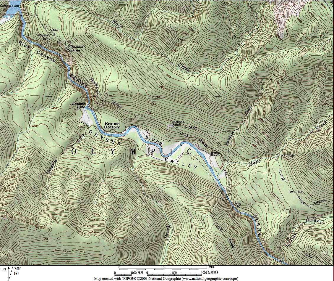
This trail map produced using National Geographic's TOPO program
|
Kaleberg Notes
|
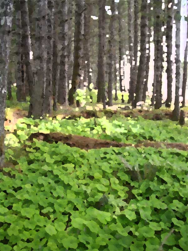
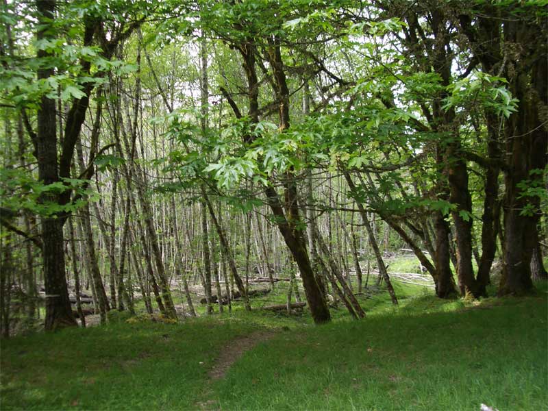
There is something about the lighting and natural textures on these trails that lends itself to soft renderings and thoughts of the Impressionists. It may be all the greens and browns, or the haze of distance, but it was hard to resist playing around with a few Photoshop filters. Here are some photographs, as taken, and as altered by some of the simpler artistic filters. The altered images may lack resolution, they do convey something of the spirit of the trail.
|
The original, as above |
Rendered in paint daubs |
|
The original, as above |
Rendered in dry brush |
|
The original, as above |
Rendered in pallete knife |
If only we weren't too lazy to lug our oil paints with us...


© Copyright Kaleberg Symbionts 2007