|
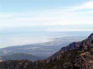
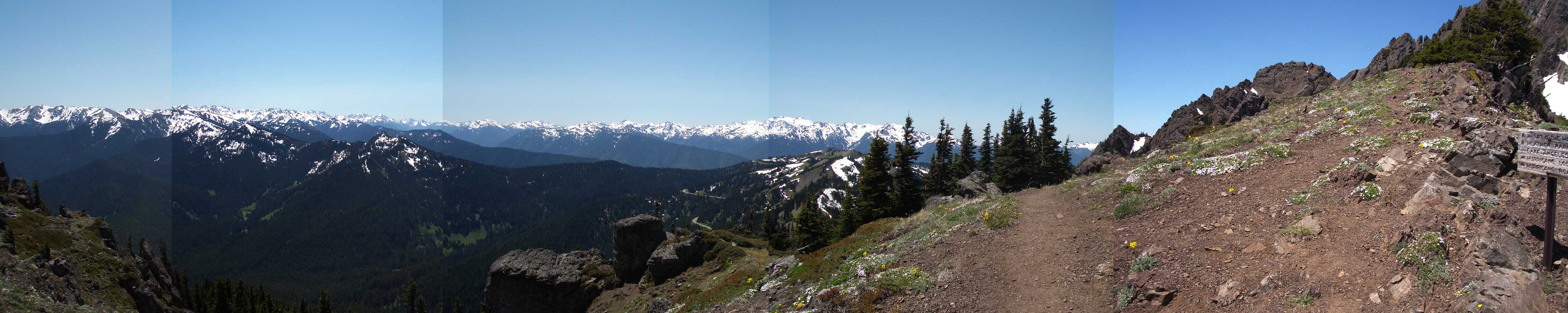
Klahane Ridge is one of the great climbs of Olympic National Park. It offers a good hard workout and stupendous views. On a clear day you see the Strait of San Juan de Fuca, the islands, Mount Baker, and the Cascades to the north and east, and the peaks of the Olympic Mountains to the south. En route, there are the hanging gardens, full of lupines, phlox, yarrow and dozens of other alpine plants. If you keep your eyes open, there are deer, marmots, mountain sheep, chipmunks and a host of butterflies to see. |
The View South |
|
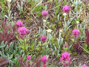
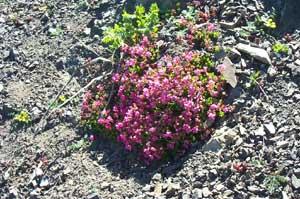
Pink Paintbrush |
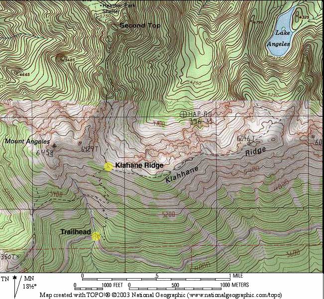
TRAILHEAD The trailhead is on the right hand side of Hurricane Hill road about a mile or so from the lodge parking lot. There is a parking area and a set of signs. There are no facilities, so you might want to drop in at the lodge and then take the trail on your drive down. |
|
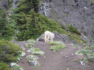
Mountain Sheep and Phlox |
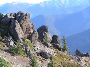
Outcroppings |
|
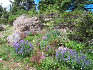
If you look closely at the hanging gardens you'll see dozens of different plants and flowers, all taking advantage of the brief growing season in the high country. There are lupines, paintbrush, yarrow, cow parsnip, avalanche lilies and a host of others. Of course, you'll probably be rather breathless looking at the view. Save some awe for the ridge proper with spectacular views to the north and south. |
Dungeness Spit and Beyond |
|
The Alpine Garden |
Lupines in the Garden |
|
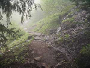
A Rainy Day Hike |
Even on a cloudy day this trail has much to offer. We've even climbed it in a light drizzle, and once, there were snow flurries on our descent. Consider heading a bit further along the Lake Angeles Trail into the high gardens. It's another 150 feet of climbing, but after crossing the open face of the ridge one enters a series of closed alpine gardens. You can keep going down to Lake Angeles or even Heart of the Hills, but remember, you have to get back. |
|
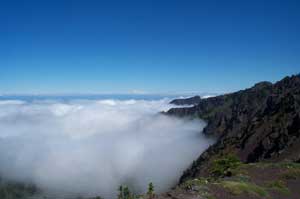
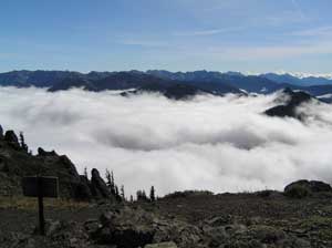
Clouds and Mount Baker in the Distance |
A Sea of Clouds |
|
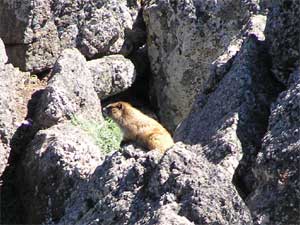
Golden Marmot |
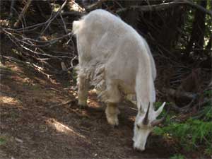
Mountain Sheep |